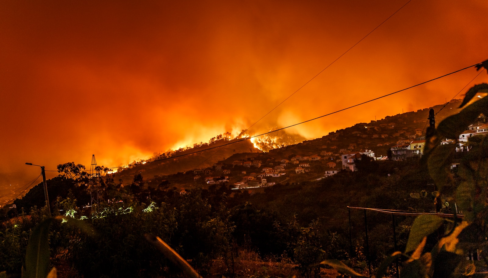
ALBANY — Governor Kathy Hochul today announced a new real-time weather data tool aimed at informing New Yorkers about increased wildfire risks. Developed by the New York State Department of Environmental Conservation (DEC) in collaboration with researchers from the University at Albany’s New York State Mesonet, the tool will generate daily Fire Danger Ratings, enhancing public safety through reliable wildfire information.
“We’re seeing the effects of climate change in real time, with dangerous wildfire seasons across the continent year after year,” Governor Hochul said. “We want to make sure the state has the latest tools and information to prepare for and respond to wildfires to ensure our communities and resources are protected.”
DEC Interim Commissioner Sean Mahar emphasized the importance of accurate data: “Even before wildland fires ignite, accurate data is crucial to deploy resources and advise communities of potential dangers. DEC’s partnership with New York State Mesonet will offer enhanced and reliable wildfire information to help keep communities safe.”
New York State Mesonet Director June Wang added, “As the climate is getting warmer, the frequency and severity of fire weather is increasing across the U.S. This new collaboration will respond by providing a more detailed and accurate fire danger rating scale.”
Jackie Bray, Commissioner of the Division of Homeland Security and Emergency Services, stated, “Wildfires are a threat to people, animals, nature and communities. This new data tool will help get critical information to the public and firefighters faster and more accurately.”
Chris Thorncroft, Director of UAlbany’s Atmospheric Sciences Research Center, noted, “Localized weather data has a critical role to play in how we adapt to the most severe impacts of climate change. We are proud to continue working with our partners on projects like this one that improve the resilience of New Yorkers to weather-related extremes.”
Localized Fire Weather Information
The New York State Mesonet features 127 weather observation stations across the state, providing real-time data on temperature, humidity, wind speed, and more. This information feeds weather prediction models and decision-support tools.
DEC’s Wildfire Predictive Services will issue updates to a fire danger map that rates areas from low to extreme risk. This enhanced data collection will help community leaders and emergency managers adapt their activities to prevent fires and reduce damage.
The fire danger maps will be publicly available on both the DEC website and the New York State Mesonet Fire Danger Products page. While recent dry conditions have resulted in a “High” fire danger statewide, residents are advised to exercise caution, as fires may start easily from various causes. The DEC continues to promote safe practices, including prohibiting the burning of garbage or leaves year-round.
For more information, visit the New York State Mesonet Fire Danger Products page and the DEC website for updates on fire danger ratings.
